You are viewing 1 of your 1 free articles
Dispelling the myths of the green belt
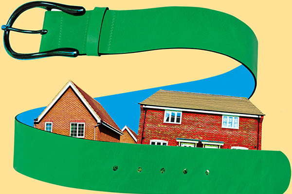
The Housing and Finance Institute has today published a guide to the green belt to address common misunderstandings about its purpose. Natalie Elphicke explains more
This week the Housing and Finance Institute (HFI) has published a quick guide to the green belt (see attached below).
The guide started its life from a question that the institute was asked by a council: is the green belt forever even if it no longer serves its purpose?
The green belt is an emotional as well as a highly technical topic. Like all such emotional and technical areas, the subject matter can be easily misunderstood or misrepresented.
So we have tried to produce a guide that is practical and accessible. This guide helps to explain the principles and actions that are occurring across the country with land set aside as green belt, as well as addressing common misunderstandings.
Among those common misunderstandings is that the green belt exists principally around London, that it is a bright green doughnut separating London from its principal Home Counties.
In fact, only two of the areas that comprise the top 10 areas holding green belt land are adjacent Home Counties. The rest are spread throughout the country.
Another misunderstanding is that the country’s green belt has been diminished over recent decades, when the opposite is in fact the case.
Between 1979 and 1997 the size of the designated green belt more than doubled, from 721,500 hectares in 1979 to more than 1.6 million hectares in 1997. Since then there have been some year by year variations but over the past two decades the amount of land set aside as green belt has remained above 1.6 million hectares.
“Between 1979 and 1997 the size of the designated green belt more than doubled.”
A third misunderstanding is that the South East and Home Counties are prone to losing green belt land. The opposite is the case.
Of the green belt that was released in the past year, more than 80% was in the Midlands Engine area, in particular Birmingham and Bromsgrove (the seat of communities secretary Sajid Javid) but also Stratford-upon-Avon and Redditch.
The only area to release green belt close to London was Hertsmere, which released around 7.5% of its total.
There was no area in the South East where a planning authority had recorded that green belt had been released.
“The dominant purpose of the green belt is to prevent urban sprawl. It is not the only such protection.”
So to the question of the purpose of the green belt. The dominant purpose of the green belt is to prevent urban sprawl. It is not the only such protection.
There are also local additional equivalents of green belt: in London, under Metropolitan Open Land, and everywhere under Strategic and Local Gaps, the latter being a local green belt equivalent to separate smaller settlements.
Nor is green belt the primary protection of the special countryside.
A wealth of provisions exist to protect land. Nationally this protection can be found under areas of outstanding natural beauty (AONB) and Sites of Special Scientific Interest (SSSI), as well as National Parks.
Related Files
Over time there has been better designation of protected land under these headings. In 1979 there was 3.496 million hectares of protected land, by 2017 this had nearly doubled to 6.741 million hectares of protected land, more than four times the amount of land set aside under green belt. In addition, there are local Sites of Importance for Nature Conservation (SINCS).
Finally we explored the question of permanence and relevance of the Green Belt. Were there circumstances where councils had reviewed and removed green belt or added to it?
Government takes green belt designation seriously and detailed records of changes to green belt have been required and published since 2012.
Using these source materials, the HFI’s green belt guide sets out a number of examples where councils have made changes to the designations.
“Considering the purpose of land and whether it still achieves this has proved useful in parts of the country.”
Interestingly, there are a number of examples where land has been re-designated for employment rather than housing. There are examples where a smaller, or different, part of the land is preserved – rather than that originally set aside as green belt – and a remainder parcel of land freed up without damaging the purpose and intent.
One example that may have broader application is where a major strategic road fulfils the function of separation between settlements, meaning that land originally set aside is redundant.
A similar example in the South East could be where a major road, say the M25, or a railway, such as HS1 or HS2, has or will have the effect of orphaning green belt land from its original purpose. In such cases, this would be where the road or railway has been built notwithstanding the green belt designation and that now provides the physical barrier to urban sprawl that was the intent for the land originally set aside.
Considering the purpose of land and whether it still achieves this has proved useful in parts of the country.
With land a scarce resource and the communities secretary’s focus firmly sighted on freeing up land for housing development, it seems likely that purposive reviews such as these could be useful in meeting that balancing act, between preserving green belt that is required to meet its purpose while freeing up redundant land sites that could provide much-needed land and homes.
Natalie Elphicke, chief executive, The Housing and Finance Institute

